Fire and Ice
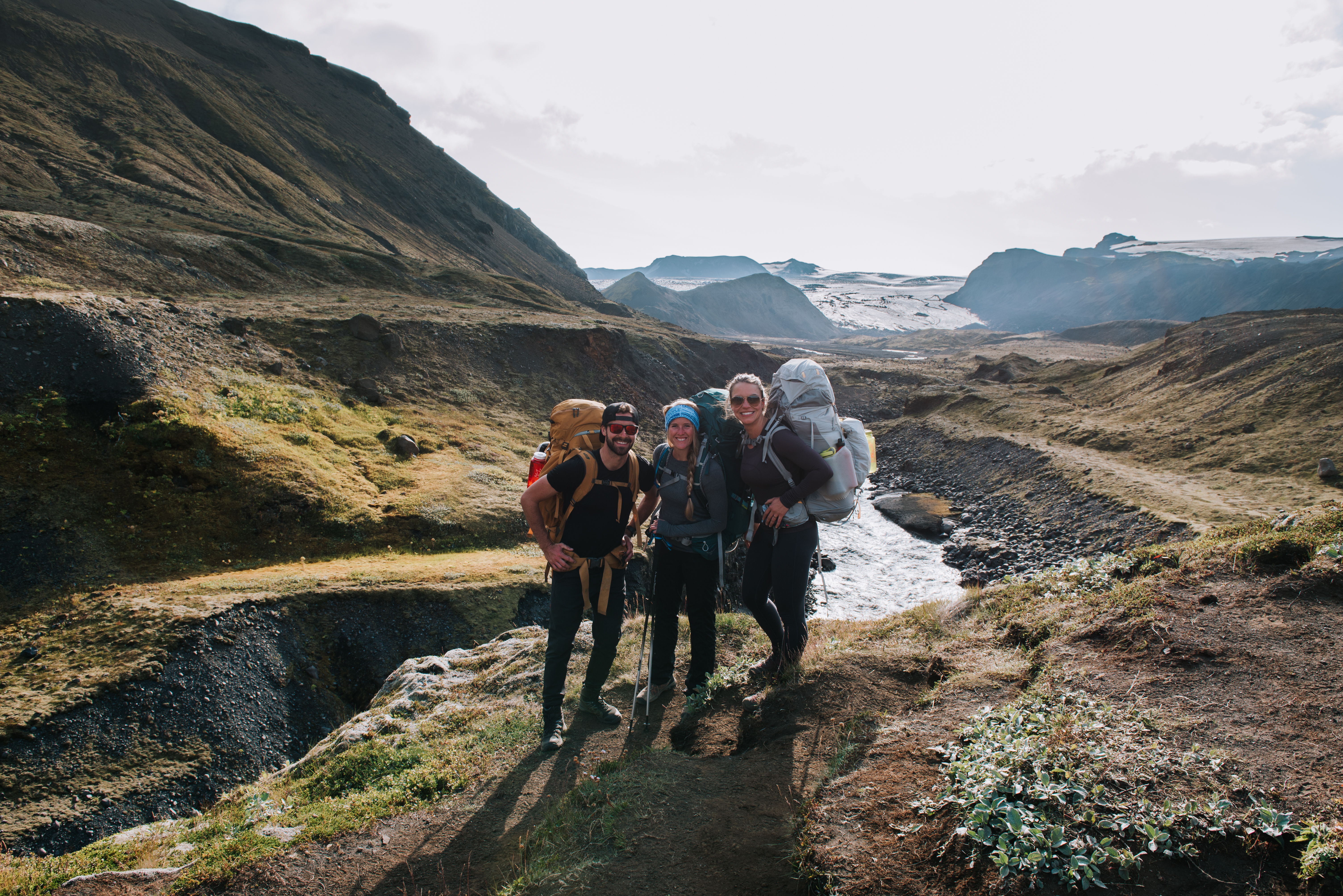
This summer, I went to Iceland with some friends, Jackie and Izabela, and hiked the Laugavegur Trail; a 55km trek from Landmannalaugar to Thorsmork. This is a two-part blog about the trip; this first part will be about our actual adventure on the trail. The second part is the logistical blog for if you want to do the trek. It includes everything you need to know to do the trail, from booking buses and huts to what to pack and when to go.
To plan your trip on the Laugavegur Trail, follow this link.
Let’s go straight to the start of the trip. On Wednesday morning, August 23rd, we woke up early and decided it would be a great idea to go do a November Project workout before even starting the hike. The leader of their group, Rakel, came and picked us up from our AirBnB, we loaded our hiking packs and a change of clothes into her car, and then went to the workout from 6:30 to 7:15 am. After getting a good sweat on, we loaded back into her car, stopped at her favourite bakery for a quick breakfast, and then got dropped at the bus terminal. Our bus was at 8am, so we quickly said goodbye to Rakel, got changed and then loaded on to the bus. Jackie didn’t change her socks from the workout, which came back to haunt her later in the trek.
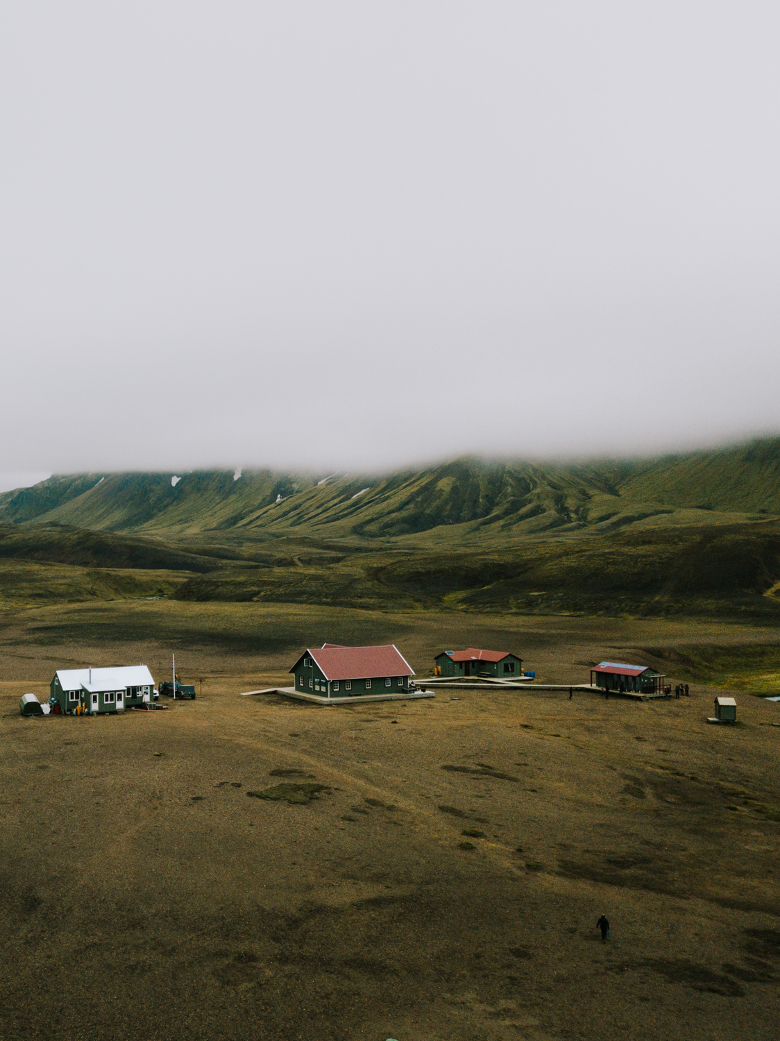
The bus ride was over four hours long. Half of it was on paved roads, and then we got up into the mountains onto some gravel roads. I don’t think any of us realized how remote the start of the hike was. The bus took us to Landmannalaugar, which shows up on Google maps, so we thought it was a small town. In reality, it was a large warming hut and a campground. There was a hot spring there as well, which we saw many people were using. By the time we arrived though, it was already almost 1pm and we were ready to get going.
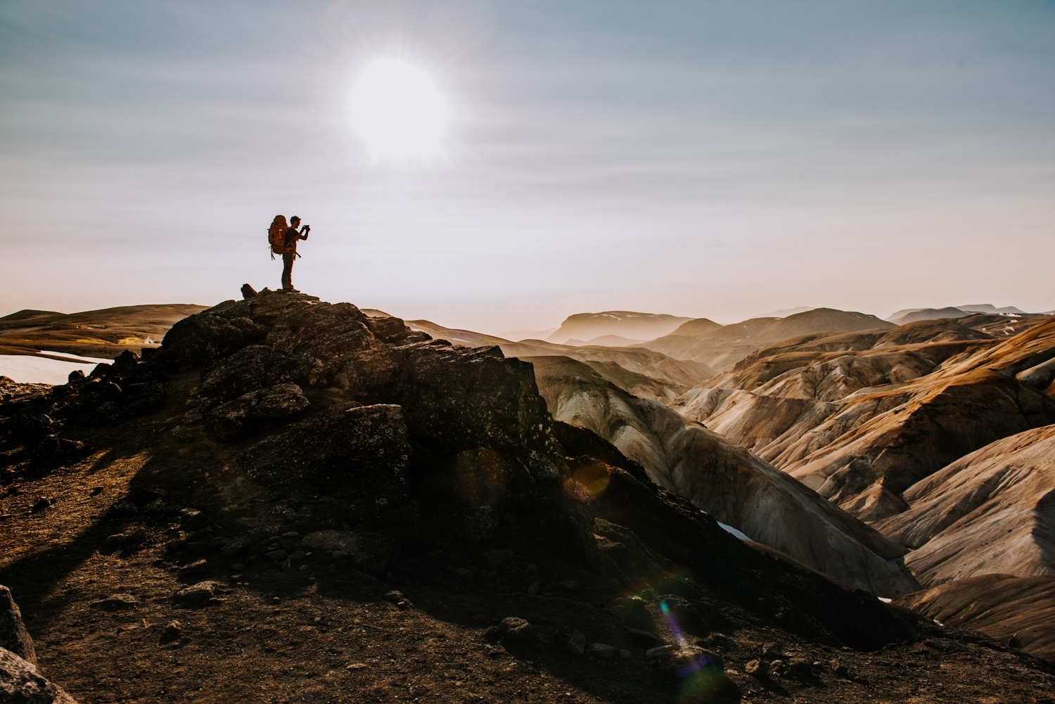
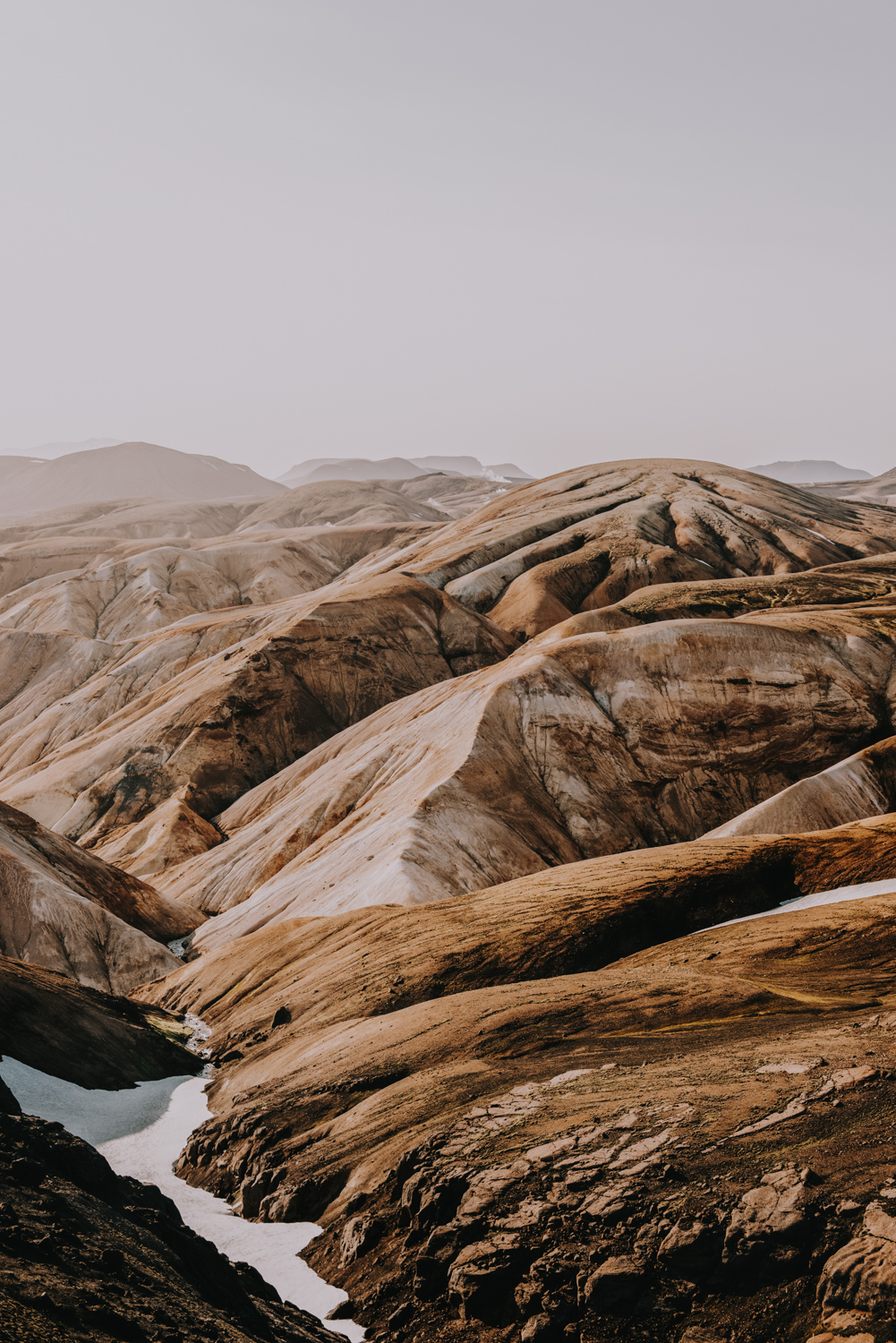
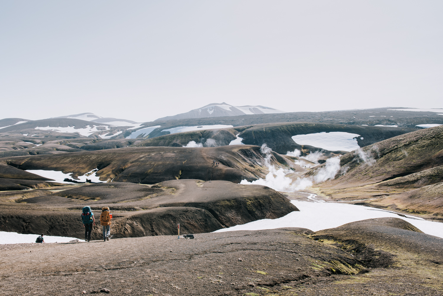
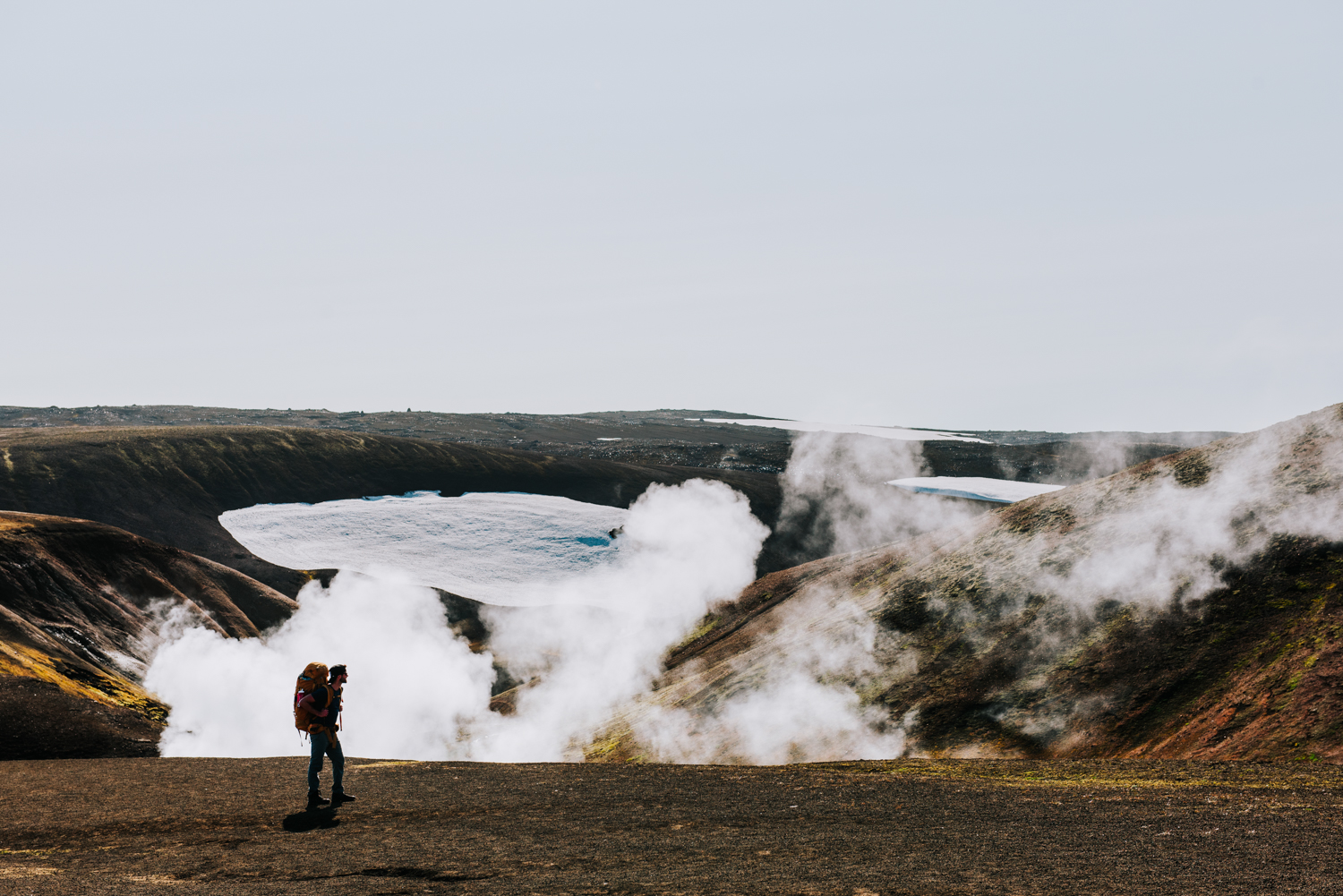
We checked our bags, made sure our water bottles were full, and then headed out. Landmannalaugar is a popular spot for people to go for day hikes due to the breathtaking rhyolite hills, so the trail was fairly busy for the first couple of hours. The beginning of the trail had a lot of uphills and downhills, and our packs were heavily laden with all of our food, water, fuel and equipment.
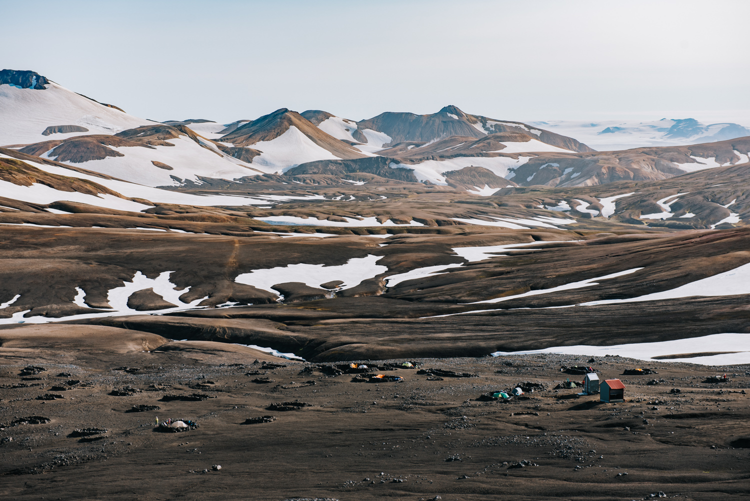
It took us about three and a half hours to get to the first hut; Hrafntinnusker. The sun was out, it was 20 degrees Celsius, and we were feeling good. We decided to keep going, knowing that the sun would set around 9:30pm that time of the year. At Hrafntinnusker, the campground looked interesting.
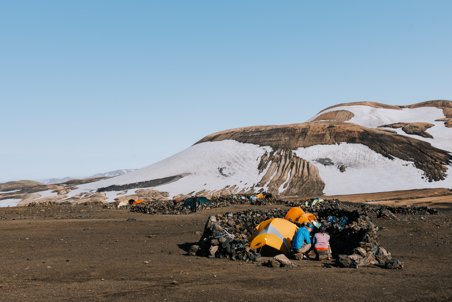
There were a bunch of little campsites for tents that were made up of circular walls of rocks. Apparently, it could get pretty windy up there and setting up a tent could be challenging. We didn’t have to worry about it because it wasn’t windy and we weren’t staying there.
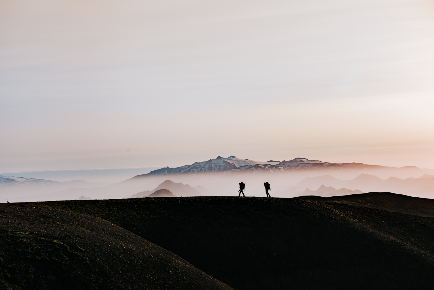
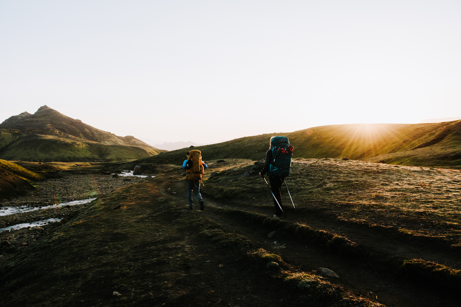
Hiking the second portion in the evening, from Hrafntinnusker to Alftavatn, the trail was a lot less populated. We passed a handful of people heading towards Hrafntinnusker, but towards the end of the day we didn’t see anyone. That part of the hike was by far my favourite.
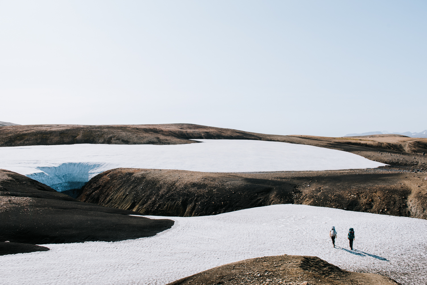
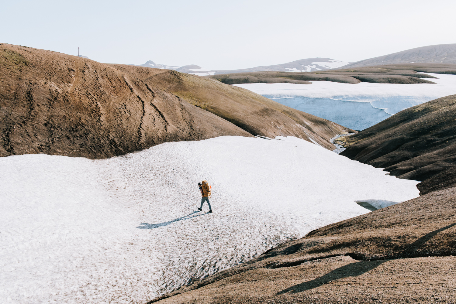
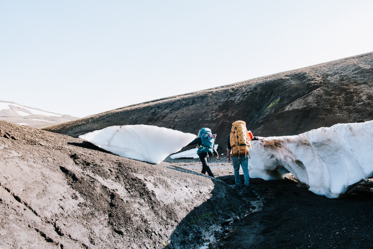
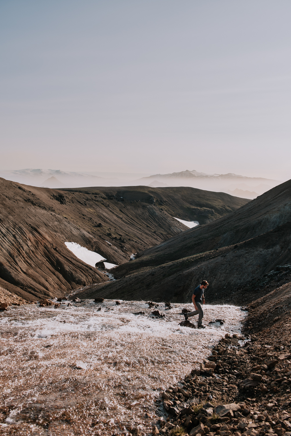
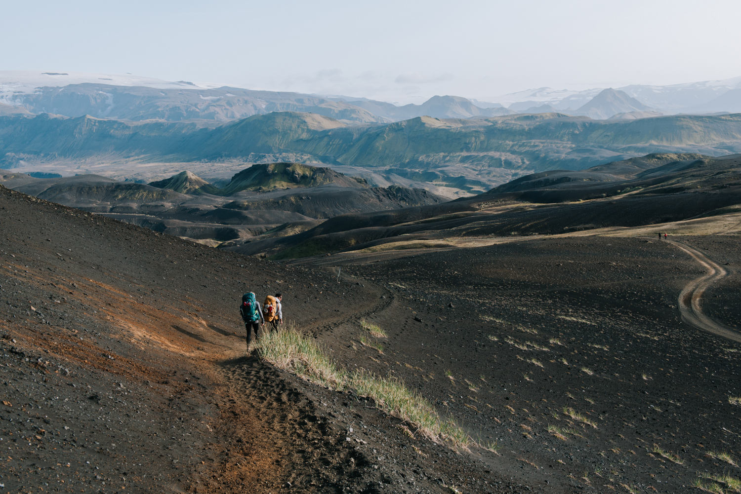
We went over sections of snow, which in the early summer were probably much longer than what we went through. We had to be careful going over some of these snowy sections, as there was melt off water running below and we would sink through at spots. We also went up and down some severely steep sections. Jackie had her hiking poles out in full force. I tried giving the advice ‘when in doubt, run it out’ for the really steep spots, but I guess it’s a little tricky with heavy packs on.
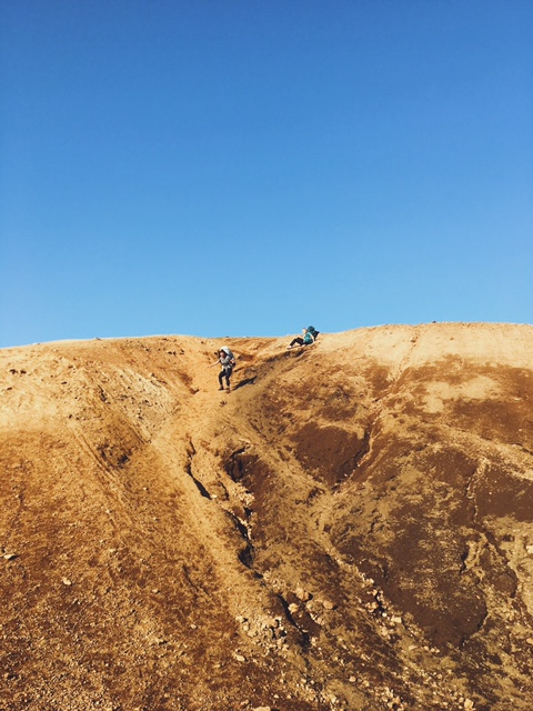
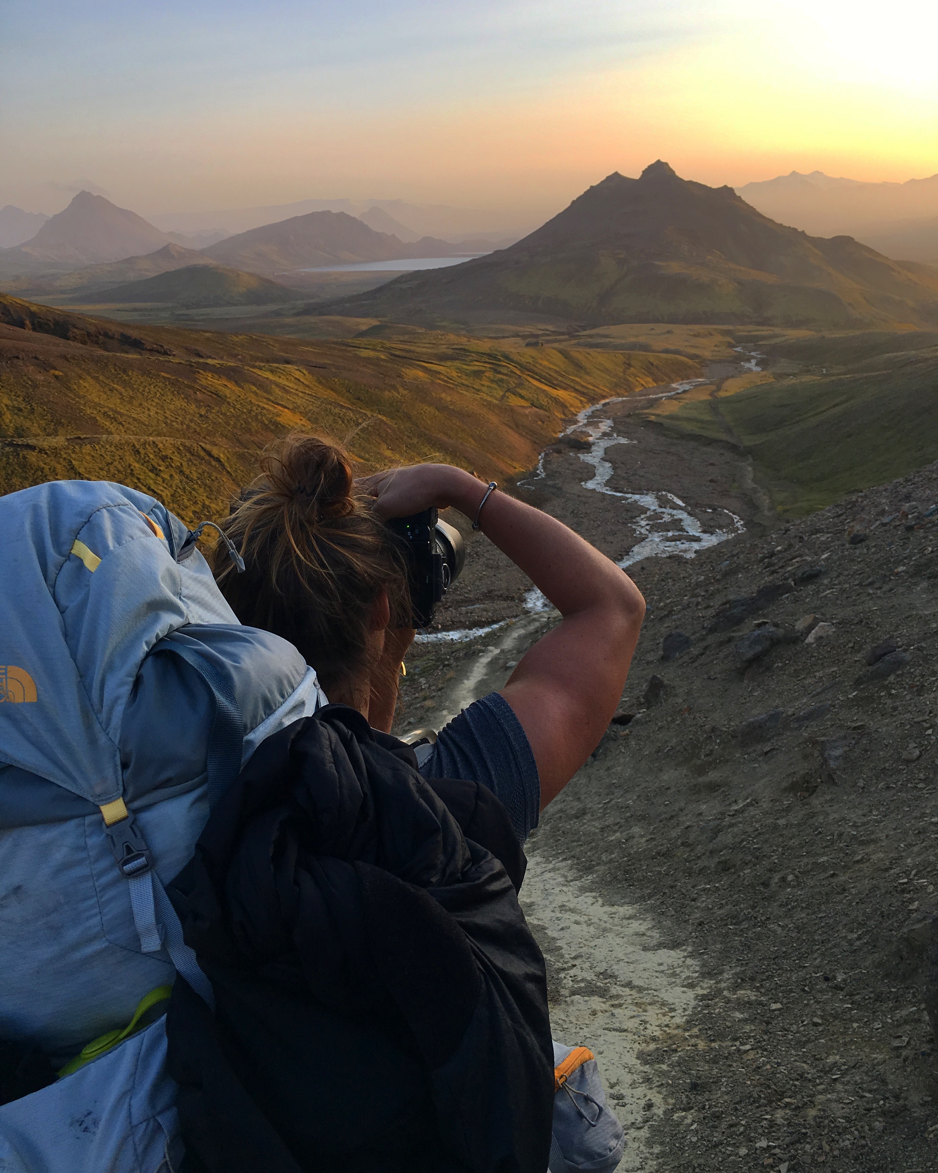
Coming down a steep section. Jackie got stuck on her butt. Picture from my iPhone because I thought it was funny.
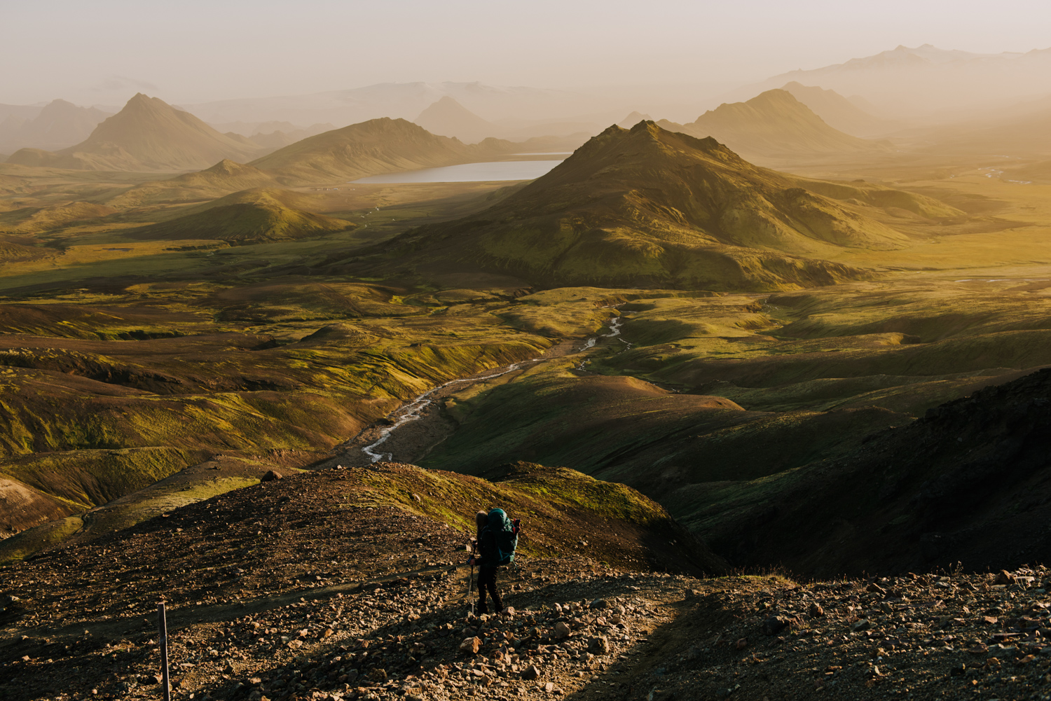
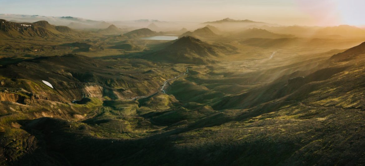
We finally came to our final descent and we could see the hut Alftavatn way off in the distance by the lake. Coming down that descent was one of the most beautiful things I’ve experienced. We were exhausted, our feet were cold and wet from crossing the river, our shoulders were raw from carrying the heavy packs, but none of that mattered. We all had the biggest smiles on our faces. Jackie said the view was like from the movie ‘Land Before Time’ and it really did look like a different world where dinosaurs would have roamed.
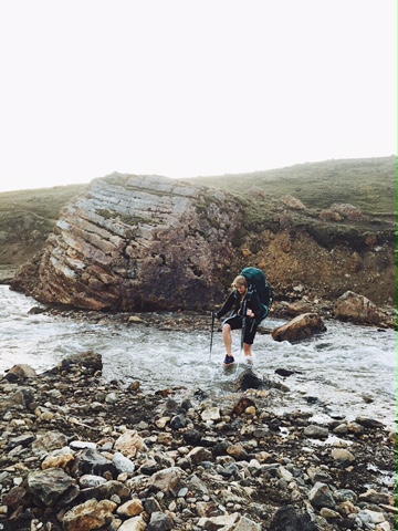
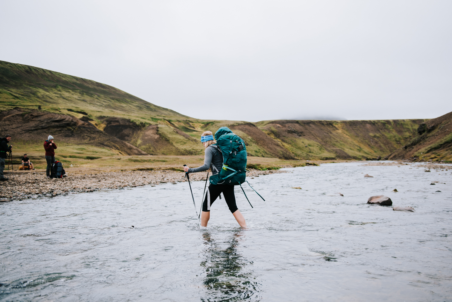
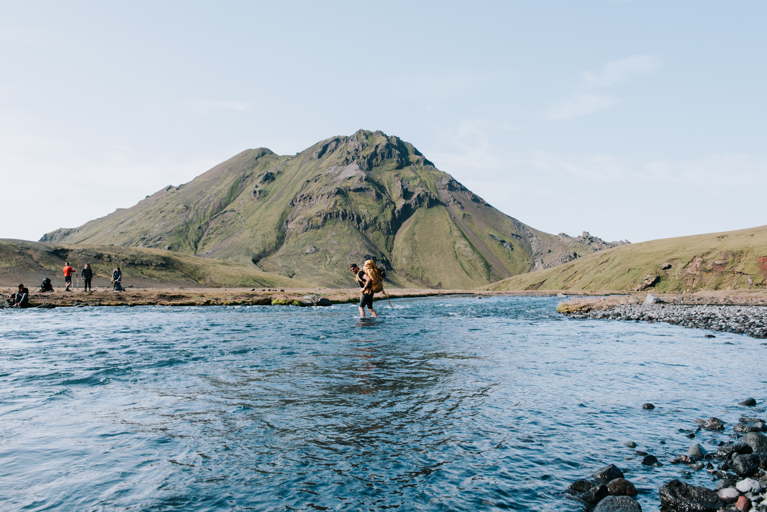
As the sun was starting to set, we came to a river that we needed to get across. We couldn’t find the bridge or a spot to cross without getting our feet wet, so after spending half an hour searching, we changed our shoes and did our first river crossing. The water was glacial cold (but not actually from a glacier, we learnt that glacier water is very muddy; we crossed a few glacier streams later in the hike).
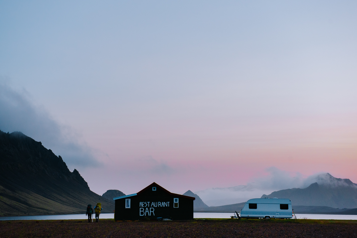
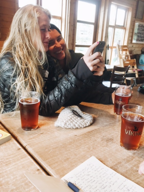
Once we crossed the river, it still took us another 45 minutes to actually get to the hut. We looked like zombies walking out of the mist. At this point, no one was talking and we were almost asleep on our feet. Izabela had fallen back a bit, and Jackie and I were pushing forward; we could see the hut and we were on a mission. As we got closer, we noticed one of the buildings had the words ‘Bar’ and ‘Restaurant’ painted in big white letters on it. Without saying anything, we all deviated our path towards it. We got there just after 10pm, and before we even set up our tent, we decided we had earned a cold beer. The building was full, someone was playing the guitar and everyone was having a good time singing along and sipping beers. The three of us left our packs outside and went inside.
Later, we set up our tent in the dark, and the campground must have had 50-60 tents set up. Through a light cloud cover we could see some northern lights over head. It got pretty chilly at night, so we threw on a few layers, set up our camping chairs (great item to have) and sat outside to recap the day. Jackie taught us the game ‘Pows and Wows’; what were our wow’s for the day (the best part) and what was our pow (the worst part). The blisters on our feet won that category every day. The wow’s were too many to recount.
In the morning, we got up and realized everyone else was in a hurry to get going; most tents were already taken down and the hikers had already headed out before 9am. We figured because we had made it to the second hut on the first day, we weren’t as hard pressed for time. Izabela got some cool drone shots of the empty campground (yes, she hiked with a Mavic Pro Drone, her Nikon camera with a big lens, and some extra photography gear) and then we got on our way.
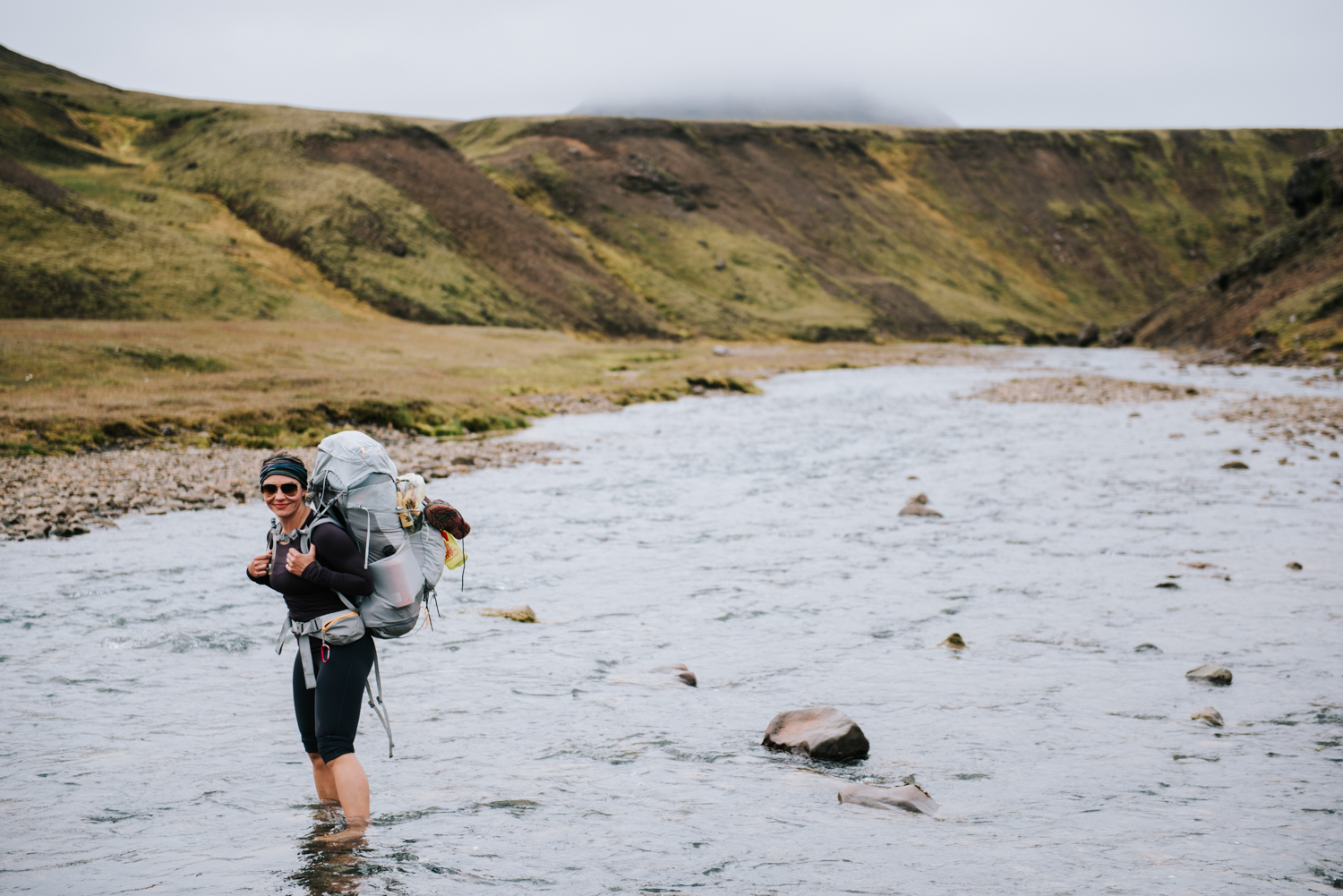
Shortly after starting, we had to cross another river. This one was a bit bigger, and just as cold. Jackie is from Phoenix, so she was struggling a bit with the cold and the cold water on her feet. I’d go across first set my pack down on the ground, and then she’d come after me and sit down on my pack to get off her feet as fast as she could because the pain from the cold was so intense. Then Izabela would follow; sometimes she would give me her camera to carry across, and this was before she told me how much it was worth so I didn’t think much of it. I think had I known, I surely would have stressed out about it and dropped it.
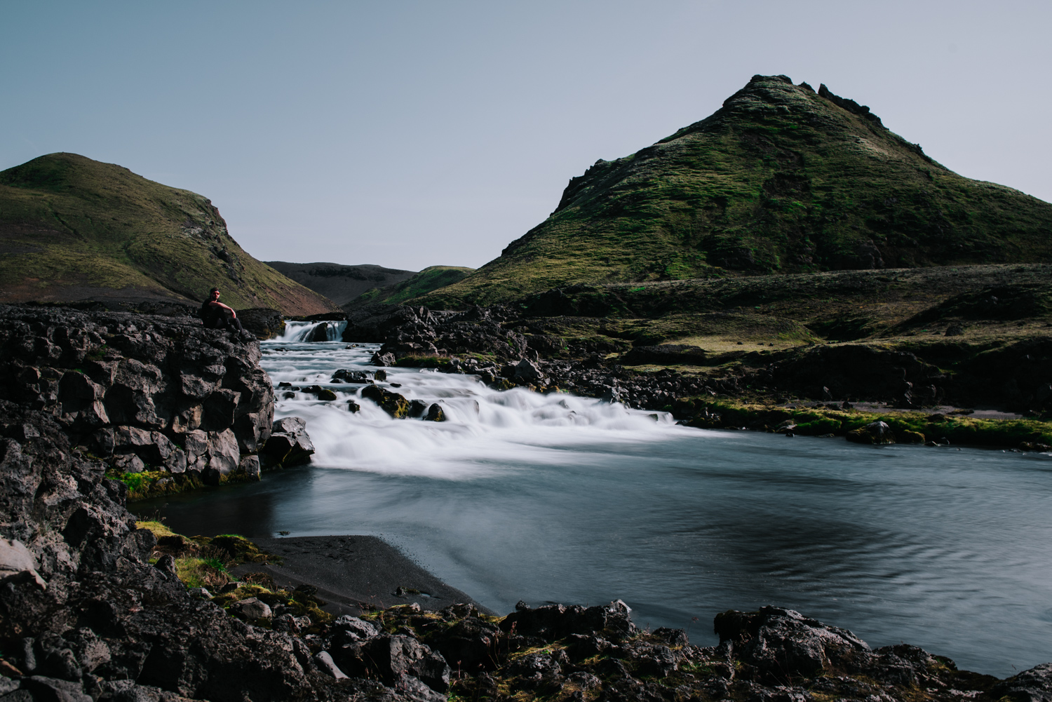
The morning was nice, it wasn’t too hilly like the day before. We got to a nice falls around mid day and took some cool photos and then about a kilometre after that was another river crossing. We all made it across, and then Izabela realized she had left her lens guard at the water fall, so I had to cross again and run to get it. We figured we were getting pretty close to the next hut, Emstrur, because we’d been hiking for a few hours. But then we got to a peak and saw a sign that said it was still another 7 kilometres. At that point, we all looked at each other, dropped our bags right there, and decided to make lunch.
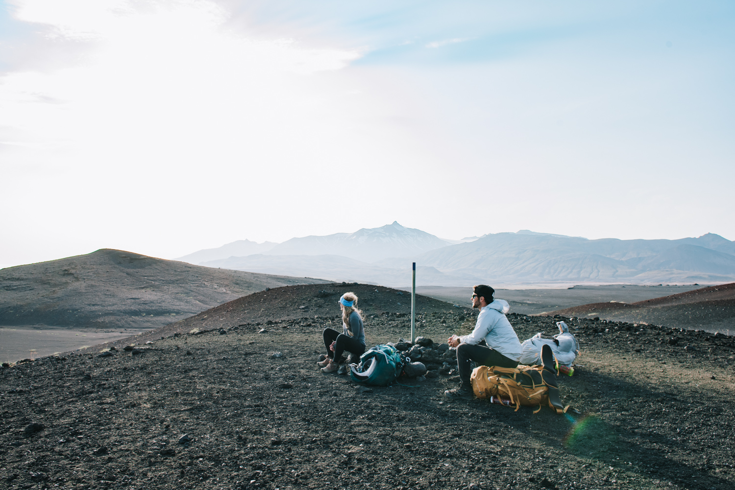
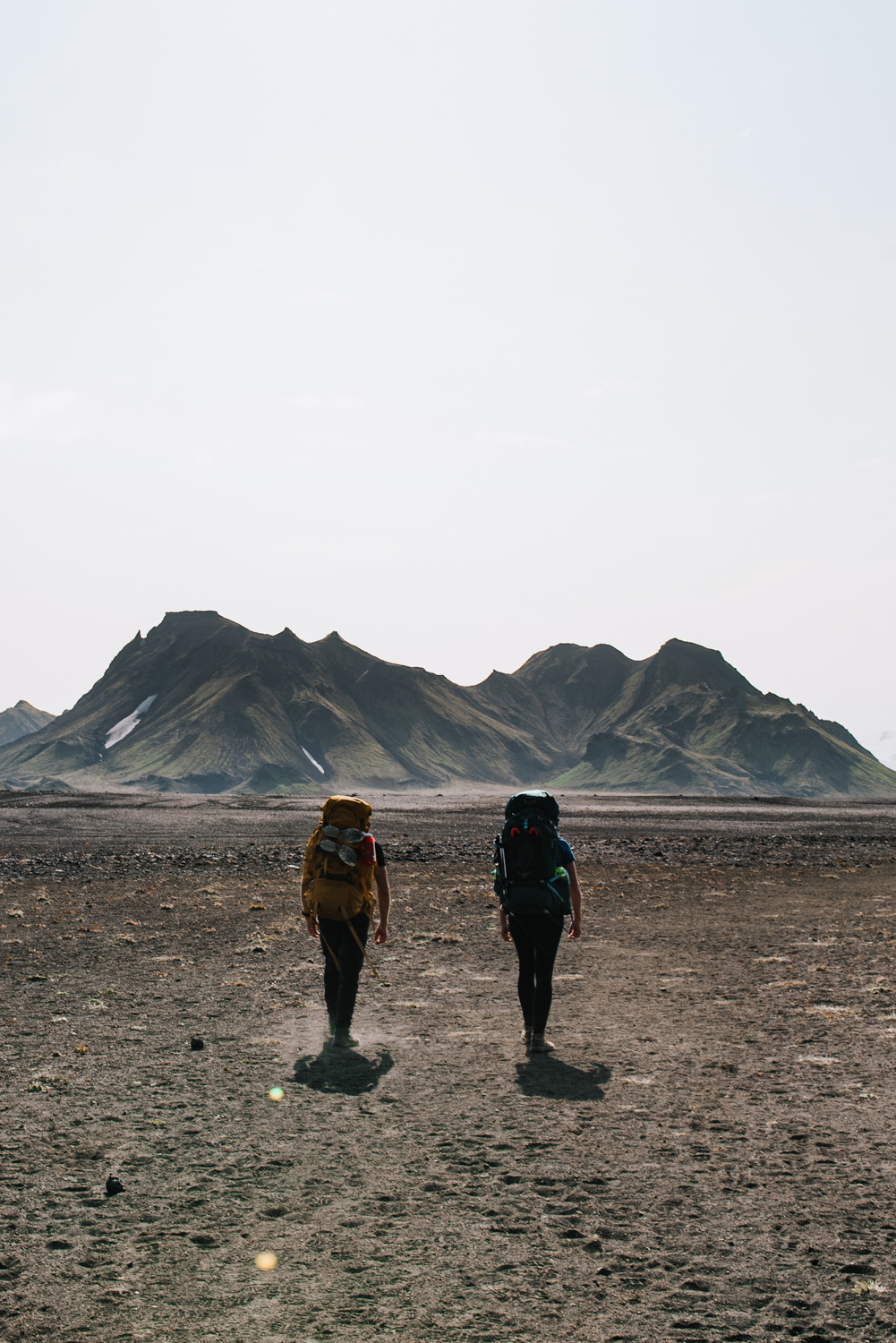
The afternoon was a struggle. The terrain we were on was like being on a combination of Mars and the moon. The trail seemed to be never ending, the sun was beating down on us and there wasn’t much change in the scenery. We were in the black sand desert near some old volcanoes. In order to get through the afternoon grind, we played some trivia games. We would name an actor, the next person would have to name a movie, then the next person would have to name another actor in that movie, and so on, until someone couldn’t come up with anything.
Finally, we got to Emstrur. By the time we got there, the campground was fairly full but we managed to find a spot next to the Aussie guy who had been playing the guitar the night before. He was there with his family and a Swedish family, and our group seemed to be the only people hanging out outside, sipping some bourbon and chatting away. The group at this point had a Canadian, a Polak, an American, a few Aussies and a Swede. We got them to join us in another game of trying to name all the Seven Wonders of the World (ancient, modern, natural, etc) and because we’d been out of cell range, we couldn’t just Google it. I think between us we managed to get them all, which we confirmed when we were back in cell range.
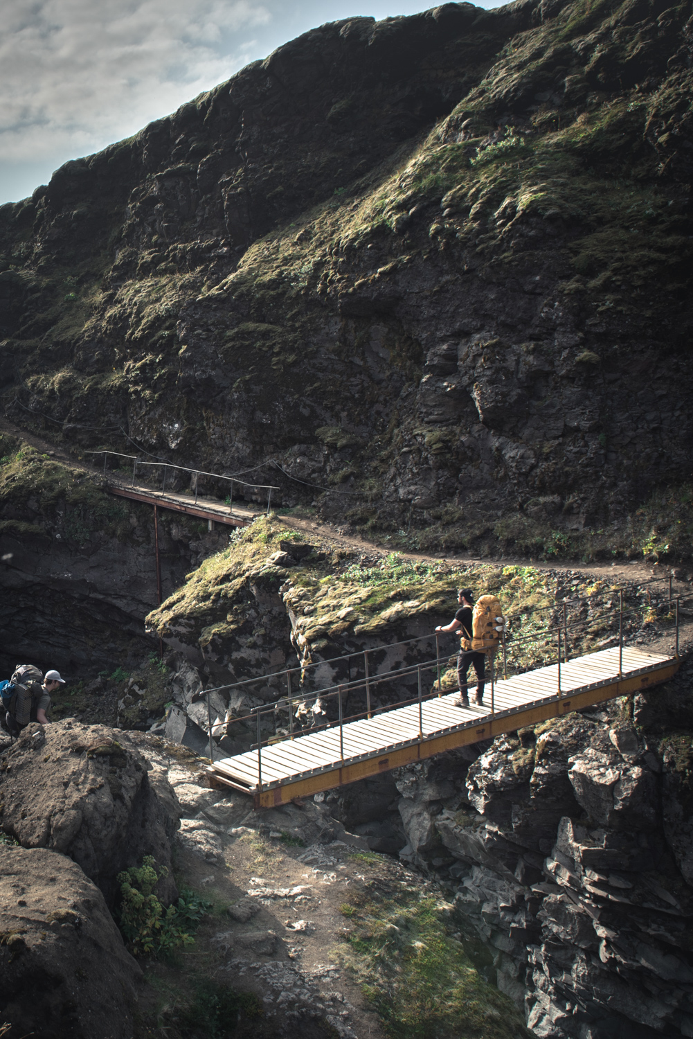
The third day was our last day of hiking. The night before, we had gone to see the hut warden about getting some big bandaids for Jackie’s blister, which was now pretty much down to her heel bone. My boots were a bit too tight around the toes so they had blistered up, and putting my boots on was not fun. The first hour of walking was agony as my feet and toes were still swollen. We crossed a big canyon that morning by going over a little wooden bridge.
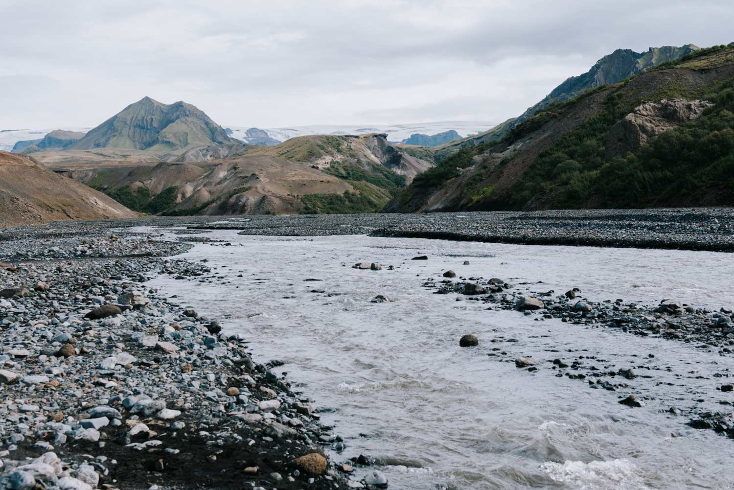
By mid day, we got to the biggest river crossing yet (Þröngá). The current was fairly strong, and the water wasn’t even that high. Apparently, it can be pretty tough to cross after a big rain. After that, we were finally hiking through some vegetation. It was probably the only treed area I saw in Iceland. We had one last steep climb, and then it was all fairly easy going to Thorsmork.
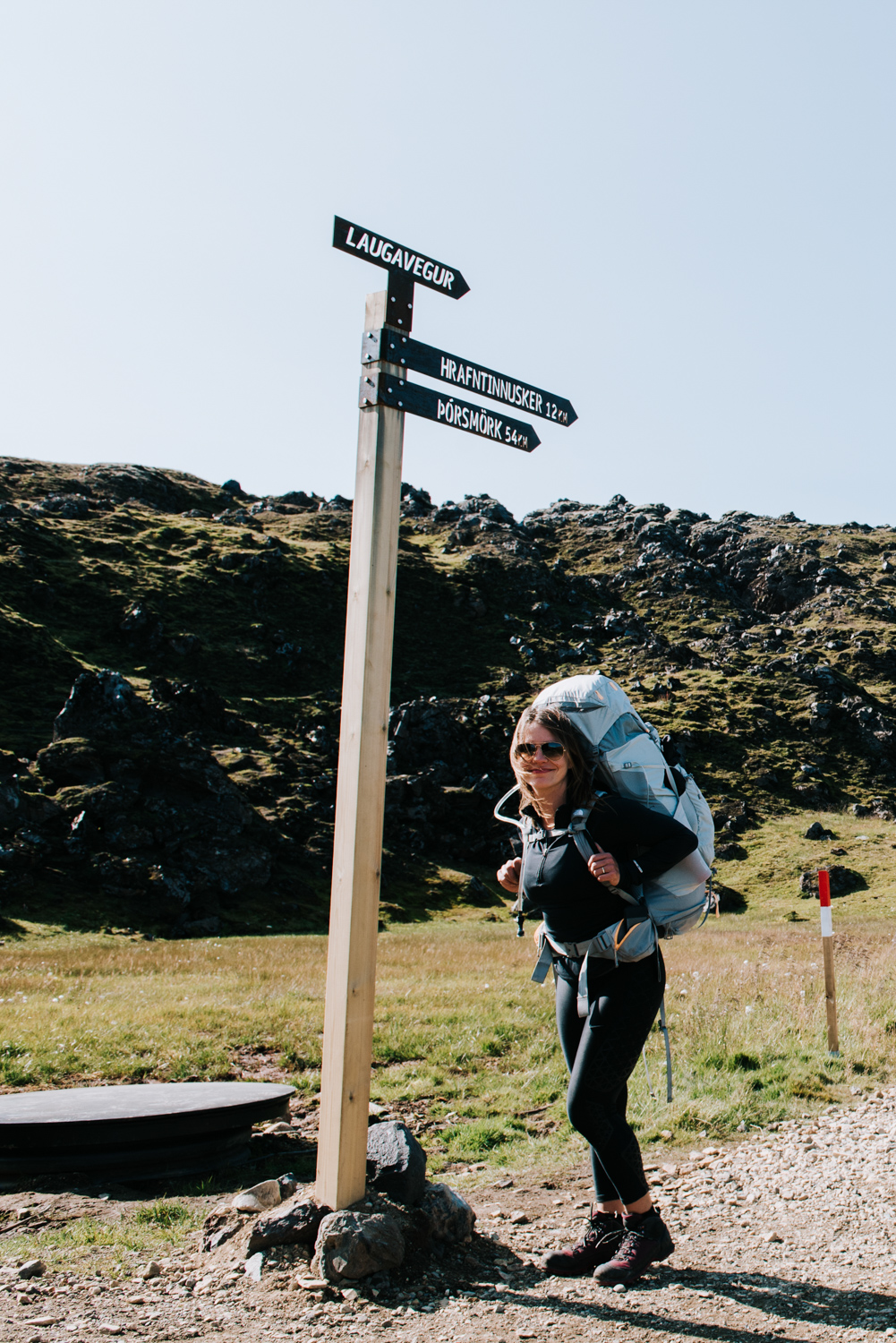
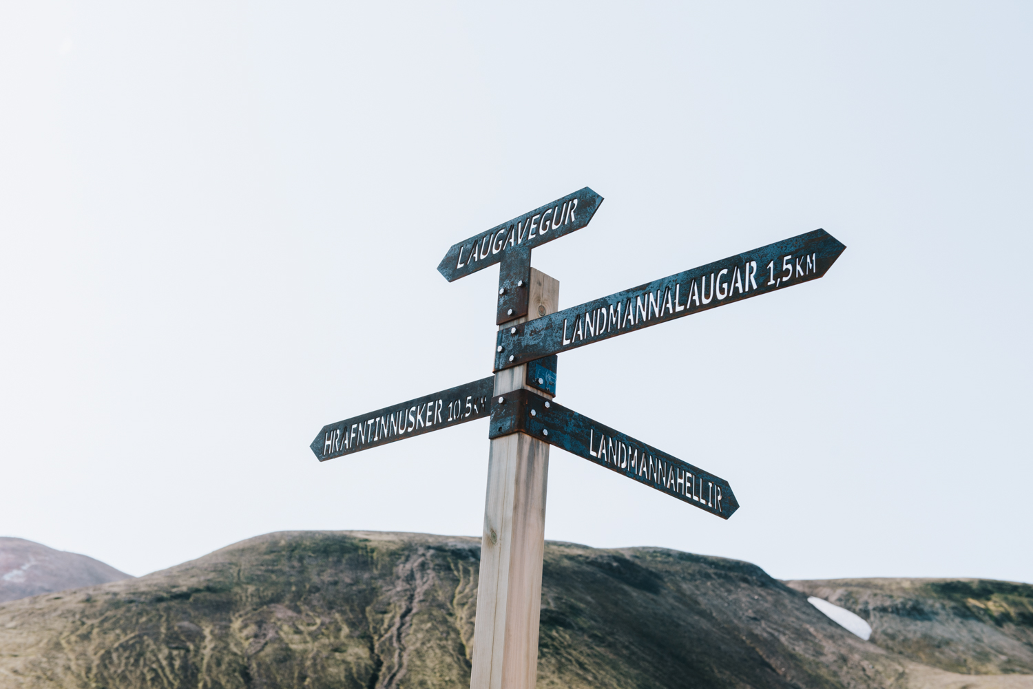
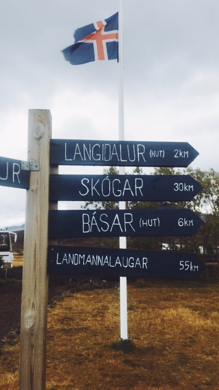
When we got close to the end, we came across a sign post with a smorgasbord of signs. We hadn’t realized there were three different warming huts in Thorsmork, and we hadn’t decided which one we were going to. We also hadn’t realized Thorsmork is a region, not a specific spot. These huts were all about a kilometre from each other, and we weren’t sure which one to go to. The Aussie and Swede from the night before had said they were going to the one that had a restaurant and bar, and we saw a sign that said ‘restaurant and bar this way’ so we followed that. I don’t think we were on the actual hiking trail for this section, we ended up on a dead end high up on a cliff that we had to back track from, and then we followed a road down to the hut. We could see the hiking trail down in the ravine, but couldn’t figure out how to get to it without going all the way back to the intersection. The road got us there, but it would have been nicer to finish on the actual trail. Our friends from the night before had gone to a different hut.
We got to the Volcano Hut, set up our tent quickly because rain was coming, and then went inside. They had warm showers and a buffet meal, which cost an arm and a leg, but tasted so good after eating dehydrated meals for three days. It was nice to be inside and warm, having beers and playing cards as the bad weather came in. We also booked our bus tickets to head out the next morning. When we planned the trip, we had thought about doing the hike from Thorsmork to Skogar, which is an additional 15km. We talked to the warden about it, and because that section runs between two glaciers, we were told that when there is bad weather it’s really not great. We decided we were happy with what we had accomplished and we’d save that hike for another time.

